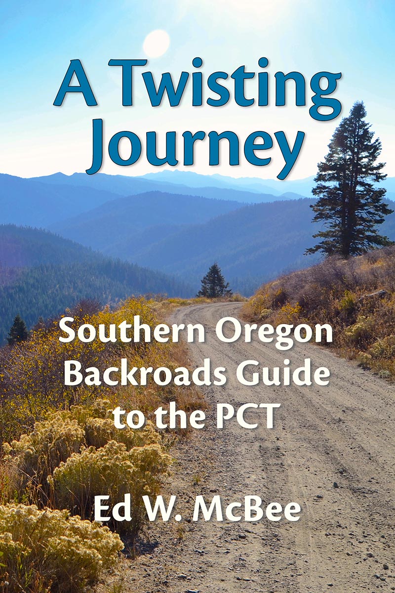
A Twisting Journey
A Twisting Journey describes a high country backroads trip following and intersecting the Pacific Crest Trail in Southern Oregon from California to Willamette Pass. It’s filled with detailed descriptions of the sights, attractions, and human and natural histories along the way.
Divided into four regions, each representing about a day’s exploration, the book provides a seamless road route that parallels the Pacific Crest Trail through some of Southern Oregon’s most scenic high country. For hikers, the guide provides an easy reference showing each place the PCT intersects a road with trail miles and elevations included. Several day-hikes along the way are also illustrated.
Starting in the historic gold mining town of Jacksonville, Oregon the route crosses the 7,000 foot high Siskiyou Mountains and meets up with the Pacific Crest Trail at the point it enters Oregon from California. The road heads east from there with many opportunities to admire the stunning alpine wildflowers and sweeping views of Southern Oregon and Northern California. After an exploration of the interesting city of Ashland, Oregon we hook-up with the Cascade Mountains driving past many lakes of varying size including Oregon’s largest natural lake (Klamath Lake) and around the rim of Oregon’s only National Park, Crater Lake.
The fun continues at beautiful Diamond Lake. A popular place to camp and fish, it’s one of the Cascades most productive trout fisheries. Six waterfalls of significant size are included in the descriptions and lie to the north along the Umpqua River. The twisting way continues north through some of the quietest country in the Cascade Range passing by many more lakes and the headwaters of the mighty Willamette River before delivering the traveler to Willamette Pass.
The engaging and detailed guide includes historical and geological background and tips on fishing the high lakes of the Cascades, boating, camping, day-hikes, and lodging. Optional side roads lead to more lakes, waterfalls and day-hiking opportunities. Some discussion of natural science and human history attractions round out the regional descriptions.
The color photos and unique hand-drawn maps help hikers and wheeled travelers who wish to learn not only where the trail intersects roads but valuable information about what to expect in the surrounding area.


